Students fly drones, study hydrology during adventurous study abroad program in Ecuador
February 9, 2024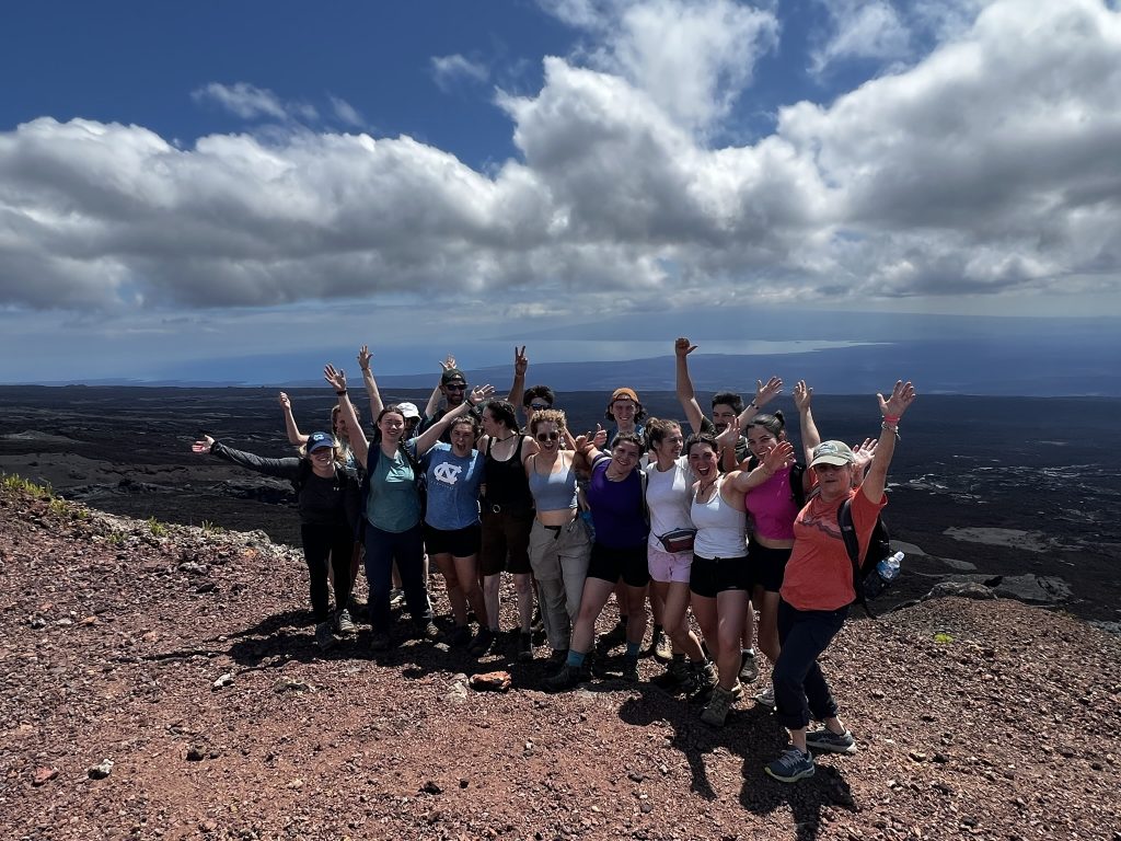
Ecuador and its diverse landscapes transformed into a living classroom for students during the five-week UNC Environmental Studies in Ecuador study abroad program this past summer.
Led by UNC-Chapel Hill faculty in partnership with the Universidad San Francisco de Quito (USFQ), students traveled to Ecuador’s capital city of Quito, the Amazon rainforest, the Maquipucuna Reserve in the cloud forest and Isabela Island in the Galápagos, gaining a unique experiential education.
The program featured two courses: ENEC 479: Remote Sensing led by UNC Institute for the Environment Associate Director Susan Cohen and Senior Research Associate Troy Walton and ENEC 324: Water in our World: Introduction to Hydrological Science including a lab led by Senior Associate Dean for Natural Sciences Jay Cable and USFQ Professor Sixto Durán-Ballén Ochoa.
“Our goal in teaching ENEC 479 was to bring remote sensing and awareness of its use in environmental science and offer some practical experience using it,” Cohen said.
Students attended four remote class meetings during the first two weeks of the program to prepare for the three-week in-person expedition in Ecuador. The virtual meetings laid the foundation for the courses. Students familiarized themselves with satellite imagery and its uses while also exploring how drone and other remotely sensed imagery can fill resolution needs.
Quito served as the home base for travel. Students landed in Quito and began the journey to Tiputini Biodiversity Station (TBS), a remote research station established in the Amazon by Universidad San Francisco de Quito and Boston University.
“The Amazon is important for a variety of reasons that we know about not just in Ecuador but across the South American region,” Cohen said. “There’s very limited remote sensing satellite data for the Amazon. Drones are a way to study small chunks of the Amazon over time and understand how forest structure changes and recovers.”
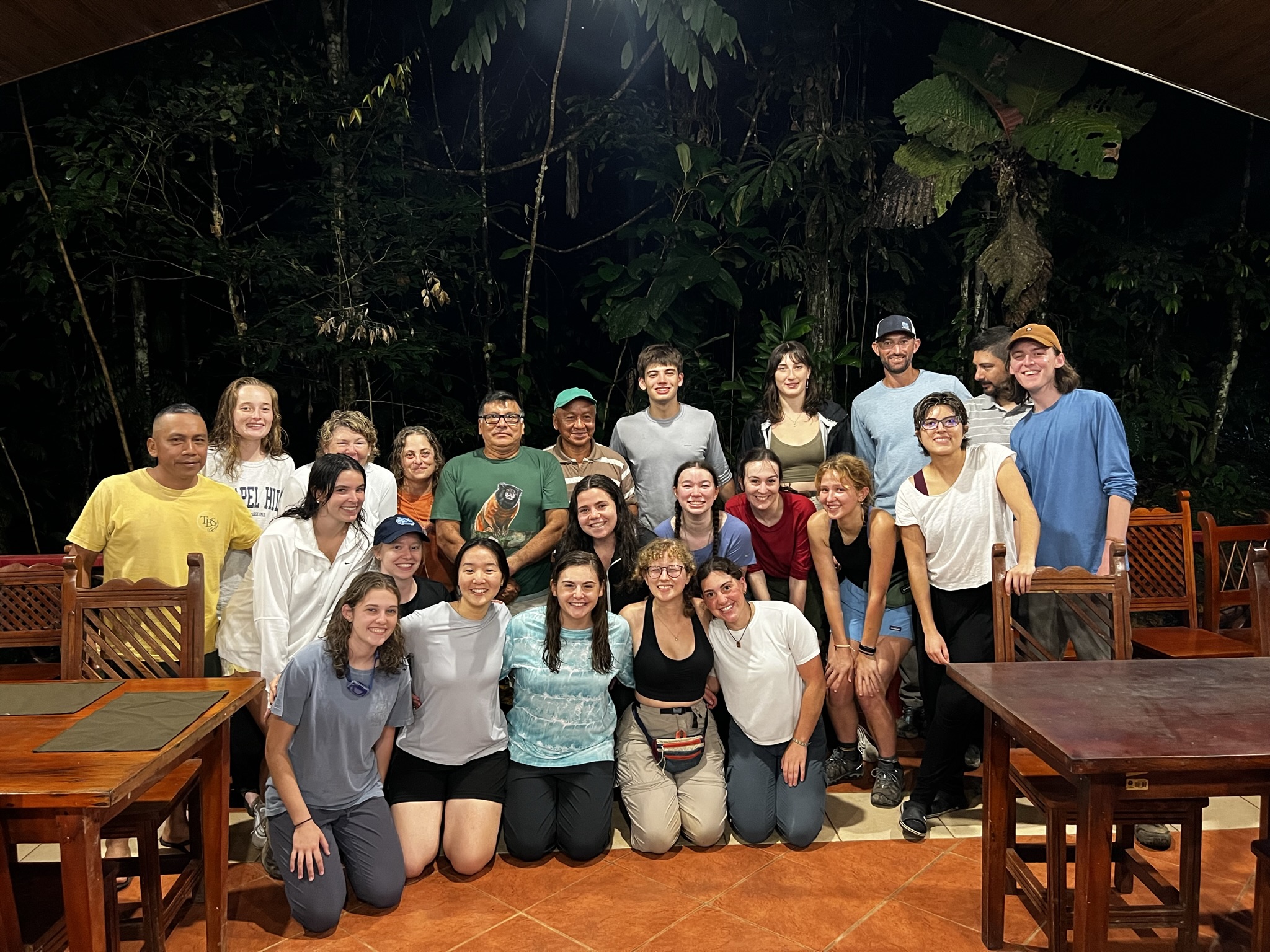
The class partnered with Gonzalo Rivas-Torres, Ph.D. and the director of TBS, to explore biodiversity, habitat quality, and gaps – areas without trees – in Ecuador’s Yasuní National Park. According to Walton, gaps can form when a tree falls, leveling nearby trees.
“Gap dynamics are important for forest health,” said Connor Phillips, a junior environmental studies and geography double major. “They allow different species of plants to begin growing. If a big tree falls over, it creates a habitat for animals and also creates an opportunity for different plants to grow that wouldn’t normally have that chance.”
Rivas-Torres’ research focuses on using drones to build temporal resolution of the region around TBS, which will allow researchers to detect changes in the forest during a specified period. This is important for monitoring gaps and determining regrowth. Under Rivas-Torres’ permit, students flew drones to collect data in the national park.
“Learning hands-on, especially in that kind of environment, is so much more beneficial than learning from a blackboard in a classroom,” said Grace Kinder, who graduated in December with an environmental studies degree.
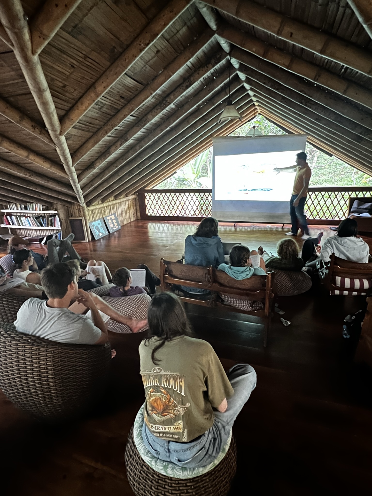 Kinder and Phillips completed a special topics course during the trip, having already received credit for ENEC 479. They led presentations on biodiversity and climate change at each trip location.
The students traveled back to Quito where they regrouped and set out to the Maquipucuna Reserve in Ecuador’s cloud forest.
“The idea was to study remote sensing and hydrology but in different ecosystem types in the same country,” Cohen said.
After collecting remote sensing data, students synthesized their imagery to create a holistic representation of the environment.
“If the goal is environmental advocacy on a public level, then you have to be able to communicate it in a way that people are going to understand and relate to,” Kinder said. “I think images generated through GIS are a really good way to do that.”
Geographic Information Systems (GIS) are software used to analyze remote sensing data by creating maps.
After studying the ecosystem of the Maquipucuna Reserve, students traveled back to Quito and then to Isabel Island in the Galápagos.
“I love the Amazon, but my heart belongs in Galápagos,” Walton said.
Since the Galápagos is a protected area and has various protocols, students did not fly drones on Isabel Island. Instead, the remote sensing and hydrology courses overlapped to discuss the effects of El Nino on water.
As 2023 was an El Nino year, the Galápagos experienced warmer weather and water. Warm temperatures create problems for the Galápagos’ marine life, especially sea lions and marine iguanas. Organisms at the bottom of the food chain cannot survive increased temperatures and begin dying, which limits food availability for larger species like sea lions and marine iguanas.
Outside of academics, students were able to explore Ecuador, hiking Sierra Negra on Isabel Island and climbing a 40-meter-tall ladder to the tree canopy in the Amazon. The program culminated in student presentations and a talent show.
“We were led through meditation as if we were a water droplet going through the Amazon circulation,” Kinder said. “People got really inventive. It was just a fun way to see people take their excitement for what we had been learning and put it into something super creative.”
Story by Natalie Peoples
Natalie Peoples is a student at UNC-Chapel Hill. Peoples is currently a junior from Kensington, Maryland, pursuing a double major in journalism and environmental science. In addition to her work as a communications intern for the Institute for the Environment, she has experience in photojournalism and environmental research. Peoples plans to pursue a career in environmental journalism with a special interest in marine science.