UNC research team awarded $1.5 million NASA grant to explore disparities and solutions to urban heat stress and climate justice in U.S.
October 19, 2023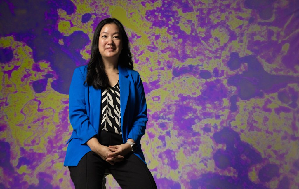
As climate change continues to set record heat temperatures across the globe, scientists and policymakers are looking for ways to mitigate the effects of heat exposure on human health. Exposure to excessive heat not only causes uncomfortable symptoms, like respiratory complications, heat cramps, exhaustion, heat stroke and dehydration, it can be fatal. According to the National Weather Service, heat kills more people in the U.S. than floods, hurricanes and tornadoes combined. Extreme heat is even more dangerous in urban areas, where crowded buildings and impervious surfaces such as asphalt contribute to a phenomenon called the urban heat island effect. This puts low-income populations and people of color who are disproportionally exposed to higher temperatures within urban areas at higher risk.
A new $1.5 million grant from NASA will allow an interdisciplinary team of researchers, led by Angel Hsu an assistant professor of public policy and director of the Data-Driven EnviroLab (DDL) at the UNC Institute for the Environment, to harness the power of satellite remote sensing data, community-collected temperature data and machine learning to evaluate disparities in heat stress from environmental and climate injustices across the U.S.
“Knowing where vulnerabilities exist will increase equity in climate resiliency planning and policymaking, as we hypothesize that our work will reveal new, individual-scale insights into the inherent geographic, racial and wealth disparities in exposure to urban heat as a way to improve the health and livelihoods of those most impacted by climate change,” said Hsu in the proposal to NASA.
The research team will evaluate historical disparities and how they have changed over time using satellite-derived land surface temperature readings and demographic census data, such as age, race, ethnicity and income.
The team will then combine land surface temperature measurements with on-the-ground measurements and machine learning algorithms to generate high-resolution estimates of heat stress in four U.S. cities including the Raleigh-Durham, N.C. metro area, Phoenix, AZ, Philadelphia, Pa., and Chicago, Ill. Having higher-resolution data than just land surface temperature measurements will allow the team to better understand the impacts on health, disparities, and mitigation measures.
Recognizing the importance of involving community input at every stage of the research process – especially when the objective of the research is to study effects on minority communities – the researchers enlisted the North Carolina Museum of Life and Science as a collaborator on this project. The museum has rich experience directly engaging communities and local governments on scientific research and outputs, and previously worked with DDL to facilitate a heat mapping campaign of Chapel Hill in 2021.
The museum’s Public Engagement Manager Max Cawley will lead the convening of a community advisory council consisting of local government officials and residents from the Raleigh-Durham area, particularly from vulnerable neighborhoods like East Raleigh and the Hayti District of Durham. This council will co-design research questions and the solutions framework, as well as pilot tools the research team will design to make all data and products accessible. This collaboration ensures that the researchers keep the perspectives of community stakeholders in mind at every stage of the research process.
Once the methodology is developed, the research team will apply it to three other case cities—Phoenix, Ariz., Philadelphia, Pa., and Chicago, Ill., – leaning on existing connections the team has cultivated with stakeholders on the ground in these communities.
The grant also will allow the team to model heat mitigation measures to help cities reduce heat stress through urban planning policies, such as planting trees or managing light reflection off urban surfaces. It also will allow them to use future climate projections to model mitigation scenarios.
“Our method is an innovative approach to develop new, high-resolution data and insights that have the potential to be scaled to other cities and contexts. With these data and insights, cities would be better prepared for extreme heat events due to climate change by knowing where to direct resources such as cooling centers, heat wave warnings, and alerts to hospitals and public health organizations. This information would also help planners identify the most critical areas for heat mitigation measures, such as tree planting, green or cool roofs, urban wind tunnels, shading devices, heat governance plans, and more,” said Hsu.
The team plans to make their research and data publicly available on the DataDriven Enviro-Lab website upon completion.
Sign-up for the Data-Driven EnviroLab mailing list to stay informed on the latest updates to this research: https://docs.google.com/forms/d/e/1FAIpQLSdolK9r5zKDq0z-he0ru0AN1XSRmF22kRwp27-aYUGd4OrYNQ/viewform
Photo credit: Angel Hsu, an assistant professor of public policy and environment, energy and ecology at the University of North Carolina-Chapel Hill, stands in front of a heat map generated by 40 volunteers who took temperature readings in selected locations around Chapel Hill on August 28, 2021. Andrew Russell, Endeavors