UNC launches CARDNL, Carolina’s first Drone Lab
April 4, 2021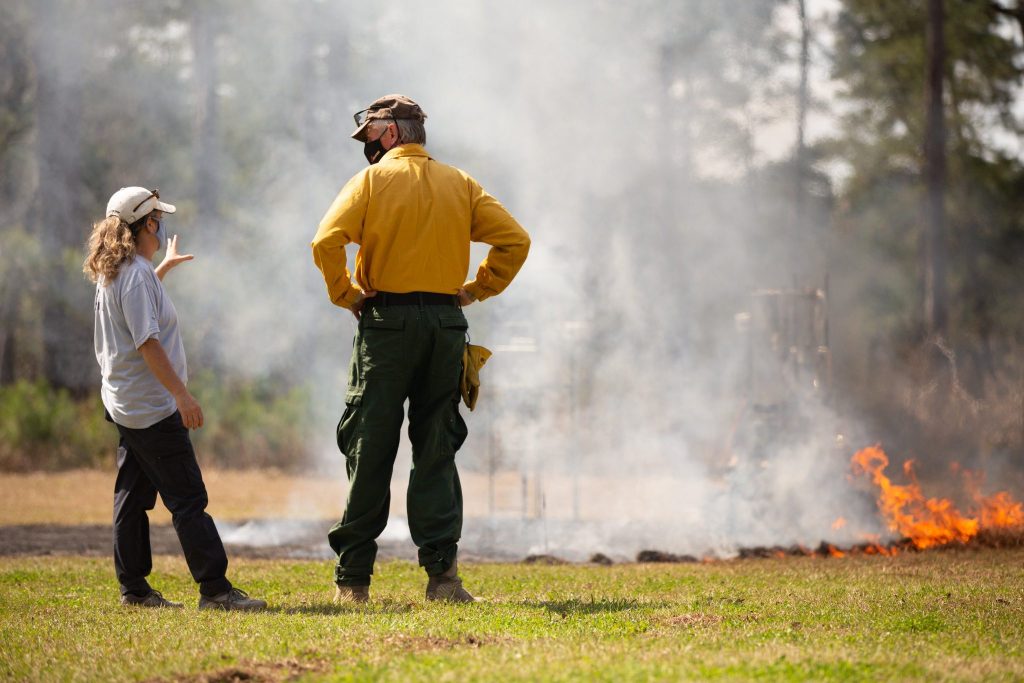
From characterizing floodplains and mapping invasive species to forest management, Carolina’s Drone Lab, or CARDNL, works with interdisciplinary teams to tackle emerging research questions. Recently launched to provide a hub for innovative drone and sensing technologies at Carolina, CARDNL serves as a collaborative resource for faculty and student researchers to use for a host of research endeavors. CARDNL aims to be a continuously-evolving resource for collaborators both in the UNC community and beyond.
“CARDNL is Carolina’s technical and logistical hub for research, education, and service activities using–or considering using–UAVs as a tool,” says Mike Piehler, director of the UNC Institute for the Environment. “Even at its inception, CARDNL’s community of practice represents a broad swath of the university. I am excited to see the partnerships and innovation that result.”
“CARDNL came to be kind of organically,” says Susan Cohen, associate director of the UNC Institute for the Environment and director of the lab. “It started as a collection of projects centered around drones, and there are a handful of faculty and staff teaching and using drones, like E3P’s Geoff Bell and Carl Stearns, GIS Manager at Energy Services. But there was no space where everyone could come together, – a hub for sharing resources and ideas, data collection and exploration, whether it is for commercial purposes or research or storytelling.”
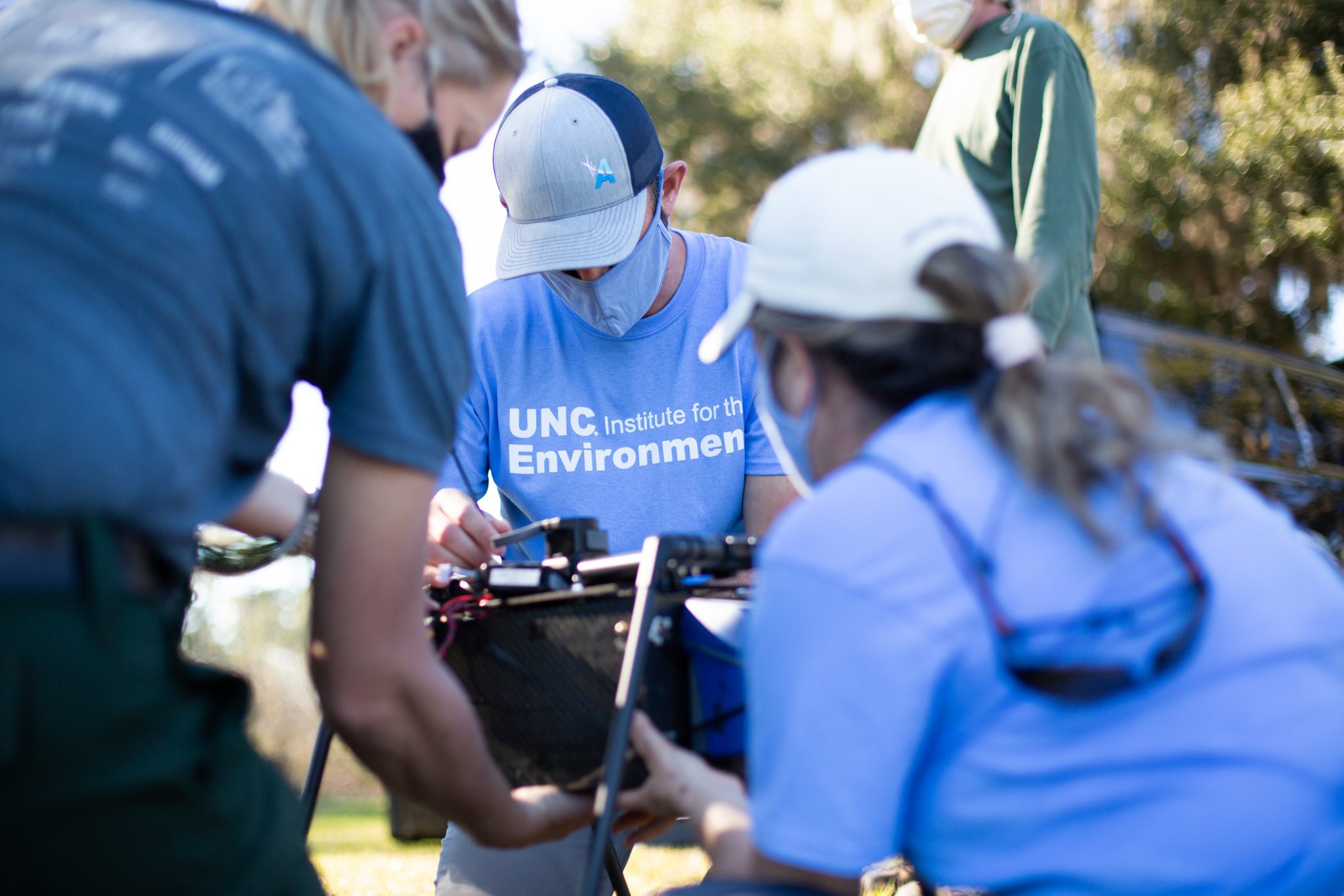
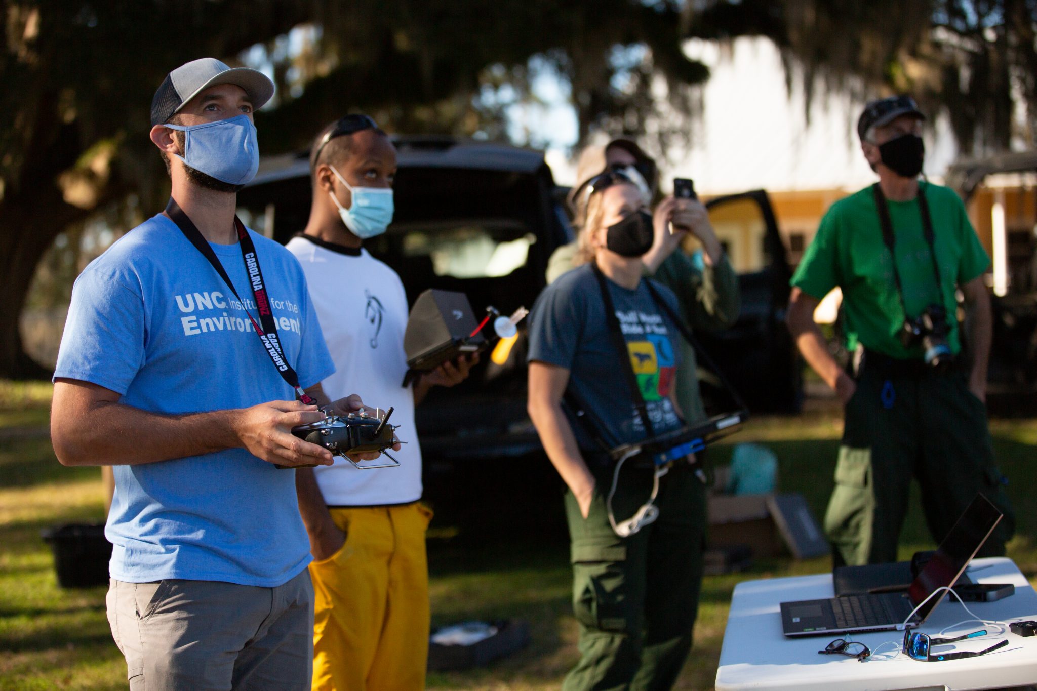
The lab not only provides expertise in using drones or unoccupied aerial vehicles (UAVs) for research, but they can supply equipment including drones, sensors, survey equipment, and software..”We don’t want to see drones sitting on shelves not being used,” Cohen says. “The equipment is expensive, and the technology is advancing super-fast. So let’s pool our resources.” They also offer training and support for regulatory compliance, flight operations and data processing.
“We want to train people and teach them how to use the resource and maybe illuminate ways to use drones that they haven’t thought about,” says Cohen. “Perhaps drones really are a great way to collect information about a project they are working on and they never even considered it as a method.”
Drones can be an important tool for gathering data for a host of disciplines or projects. In some cases, drones provide a safer and quicker alternative for collecting data.
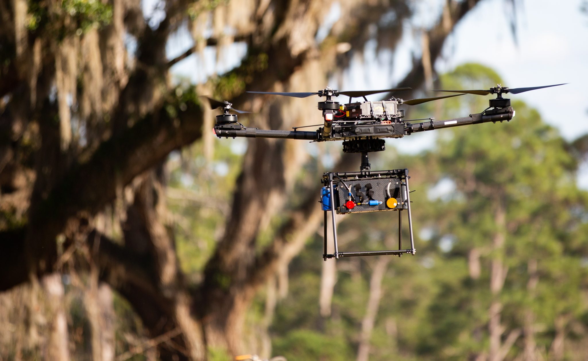
CARDNL researchers recently spent time in Florida observing and collecting emissions data around the use of prescribed fires for land management, and are using the data to help predict fire behavior and the resulting emissions. They conducted trial flights with UNC Facilities using a drone outfitted with a thermal sensor to evaluate the solar panels at the NC Botanical Garden. The thermal sensor can detect malfunctioning or underperforming panels.
Another project brings drone capabilities to the U.S. Department of Defense natural resource managers at Marine Corps bases in the Southeast for a host of uses, including monitoring prescribed fires and preventing bird and animal strike hazards and coastal erosion.
“We are hoping to get folks to begin to understand what types of information and data can be collected. Perhaps that opportunity to collect that data wasn’t there before,” Cohen says. “Anybody who’s interested in just talking about drones or learning to fly them, or maybe they’re just interested in some data collection and they really don’t want to deal with the drones and the sensors—they should just reach out to us.”
For more information on CARDNL, visit: https://tarheels.live/drones/